Geography
Santa Rita Samar covers a total area of 411.77 km2 (158.99 sq mi))part of Eastern Visayas region. The province is bordered to the west by Western Visayas and to the south by Samar. To the east lies the Philippine Sea, part of the vast Pacific Ocean, while to the south lies the Leyte Gulf. Because it faces the Philippine Sea of the Pacific Ocean, Eastern Samar suffers heavily from powerful typhoons.
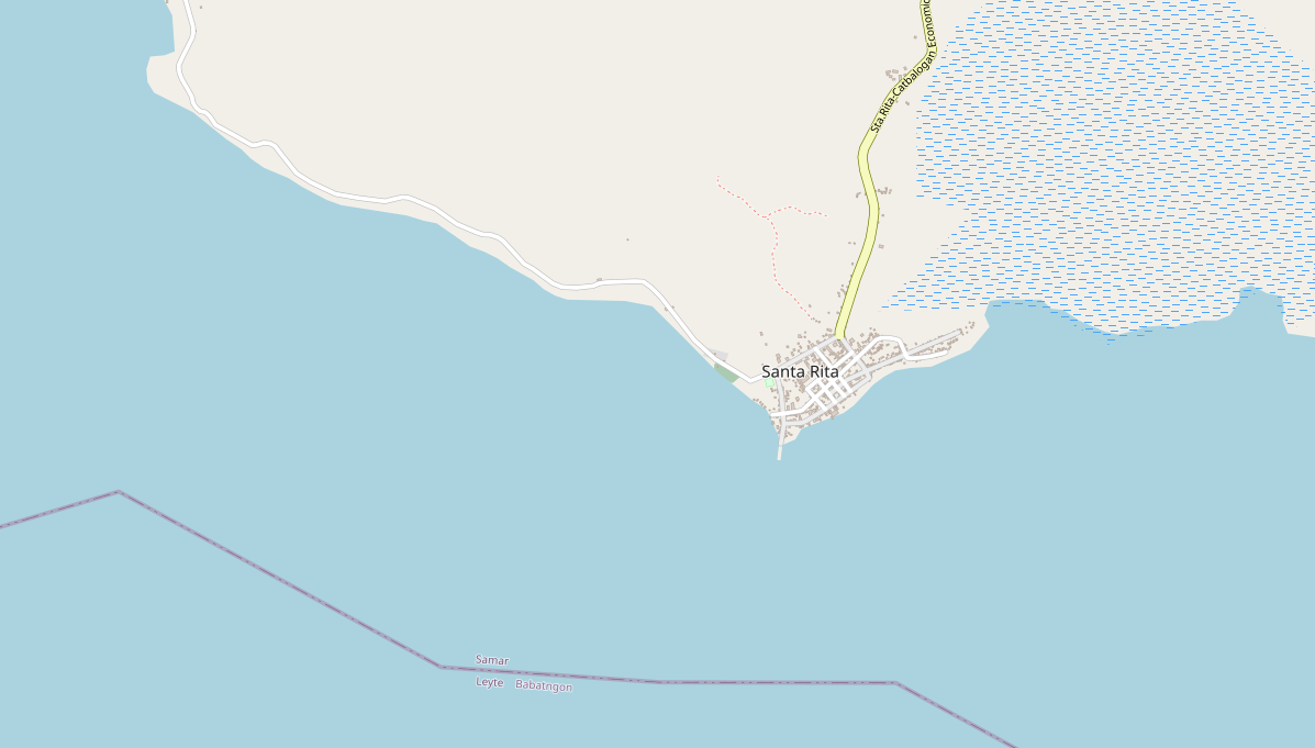
Location
The municipal center of Santa Rita is situated at approximately 11° 27′ North, 124° 56′ East, on the island of Samar. Elevation at these coordinates is estimated at 8.1 meters or 26.5 feet above mean sea level.
Distances
Based on the great-circle distance (the shortest distance between two points over the surface of the Earth), the cities closest to Santa Rita are Tacloban, Catbalogan, Borongan, Ormoc, Calbayog, and Baybay. The nearest municipalities are Babatngon, Villareal, Talalora, Pinabacdao, Calbiga, and San Miguel. Its distance from the national capital is 552.47 kilometers (343.29 miles). The following list delineates such distance measurements.
Nearest towns
- Babatngon, Leyte, 10.84 kilometers (6.74 miles) to the West‑Southwest (S73°W)
- Villareal, Samar, 12.93 kilometers (8.04 miles) to the North (N6°W)
- Talalora, Samar, 14.29 kilometers (8.88 miles) to the Northwest (N53°W)
- Pinabacdao, Samar, 18.59 kilometers (11.55 miles) to the North‑Northeast (N15°E)
- Calbiga, Samar, 21.16 kilometers (13.15 miles) to the North‑Northeast (N23°E)
- San Miguel, Leyte, 21.16 kilometers (13.15 miles) to the Southwest (S34°W)
Nearest cities
- Tacloban, 24.17 kilometers (15.02 miles) to the South‑Southeast (S17°E)
- Catbalogan, Samar, 36.40 kilometers (22.62 miles) to the North (N10°W)
- Borongan, Eastern Samar, 56.50 kilometers (35.11 miles) to the East‑Northeast (N72°E)
- Ormoc, Leyte, 61.42 kilometers (38.17 miles) to the Southwest (S36°W)
- Calbayog, Samar, 77.88 kilometers (48.39 miles) to the North‑Northwest (N29°W)
- Baybay, Leyte, 87.08 kilometers (54.11 miles) to the South (S10°W)
Distance from Manila: 552.47 kilometers (343.29 miles) to the Northwest (N50°W)
National Rankings
- Population (2015): 41,591, ranked 585 out of 1,634
- Land area (2007): 158.99 square kilometers, ranked 189 out of 1,634
- Population density (2015): 101 inhabitants per square kilometer, ranked 1,267 out of 1,634
- Annual population growth rate (2010 to 2015): 1.69%, ranked 865 out of 1,634
Administrative divisions
Santa Rita Samar comprises 38 barangays and one municipal.
| Alegria | Dampigan | Pagsulhogon | Tominamos |
| Anibongon | Guinbalot-an | Salvacion | Tulay |
| Aslum | Hinangudtan | San Eduardo | Union |
| Bagolibas | Igang-igang | San Isidro | Santan Pob. (Zone I) |
| Binanalan | La Paz | San Juan | Bougainvilla Pob. (Zone II) |
| Cabacungan | Lupig | San Pascual (Crossing) | Rosal Pob. (Zone III) |
| Cabunga-an | Magsaysay | San Pedro | Gumamela Pob. (Zone IV) |
| Camayse | Maligaya | San Roque | Bokinggan Pob. (Zone V) |
| Cansadong | New Manunca | Santa Elena | |
| Caticugan | Old Manunca | Tagacay |
External Resources: